Scientists Finally Mapped the Entirety of the “Grand Canyon of the Sea” and What They Found Was Fascinating
Off the coast of Monterey Bay, California, lies the incredible Monterey Canyon, and for years, this deep crevice in the ocean floor has been mostly a mystery.
However, the Monterey Bay Aquarium Research Institute (MBARI) recently used their cutting-edge technology to explore every centimeter of the canyon, and what they found was truly fascinating.
Details of the Monterey Canyon
Deep within the Pacific Ocean, completely invisible from the surface, lies the great Monetery Canyon.
Source: Mario Tama/Getty Images
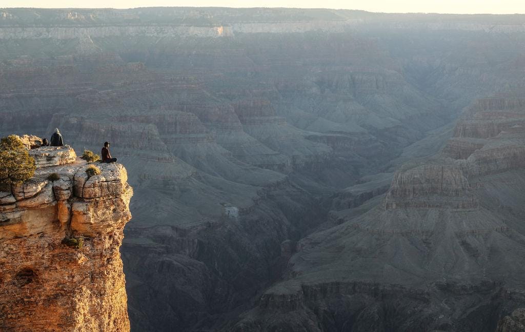
Often compared to the Grand Canyon, Monterey Canyon is the largest submarine canyon in North America. It stretches 292 miles and while the depth varies, experts now know that at one point, the underwater crevice reaches down 2.5 miles into the Earth.
The Collective Research Team Got to Work
In order to understand the construction of the canyon as well as the environment and animals that live there, a marine biology dream team got together and got to work.

Source: American Oceans
Scientists from the Monterey Bay Aquarium Research Institute, Durham University, USGS, the University of Hull, and Pontificia Universidad Católica de Chile, all organized to finally reach the Monterey Canyon deep below the surface of the Pacific Ocean.
The Technology Used for Exploration
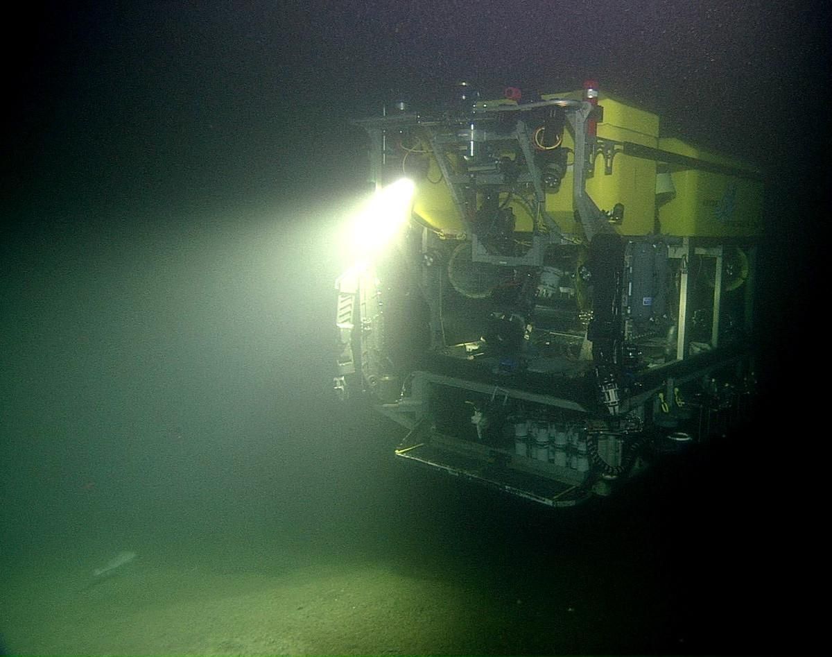
In order to do so, they used MBARI’s remotely controlled vehicle (ROV) called Doc Ricketts with a Low Altitude Survey System (LASS) strapped to it.
Source: MBARI.org
While Doc Ricketts was essential to the mission, it’s the new LASS technology that really made the exploration possible.
Understanding LASS
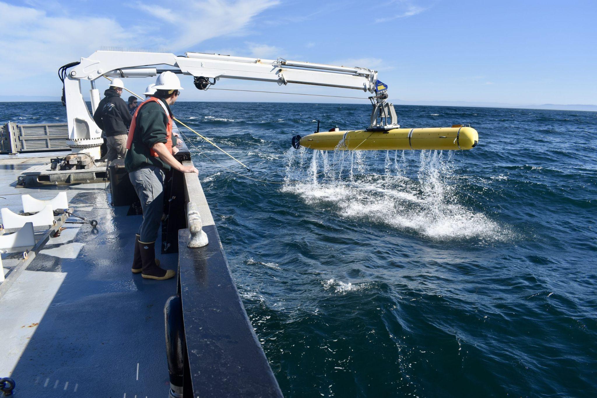
LASS is essentially a seafloor mapping technology that uses multibeam sonar, wide-swath lidar, and stereo cameras to chart the seafloor down to the centimeter.
Source: MBARI.org
The lasers that LASS uses are seriously impressive; they pulse 40,000 times a second, and each pulse takes a measurement of that exact location. These lasers can also report animals, even those with soft tissue such as sponges and coral, something that no other lasers have been able to do before.
Why Is LASS so Impressive?
Lead author of the study, Monica Wolfson-Schwehr, explained, “With sonar, we see the aftermath of large, catastrophic events, but miss the small, minute changes that happen every day.”
Source: MBARI.org
She continued, “As technology advances and we can map at finer and finer resolutions, we can observe a new level of complexity in the seabed. We don’t realize how much of the picture we’ve been missing.”
The Doc Ricketts ROV
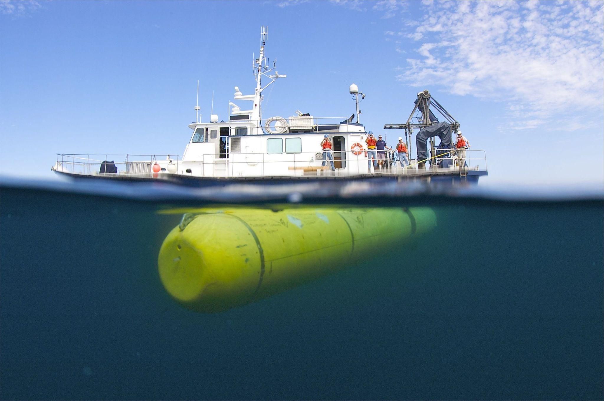
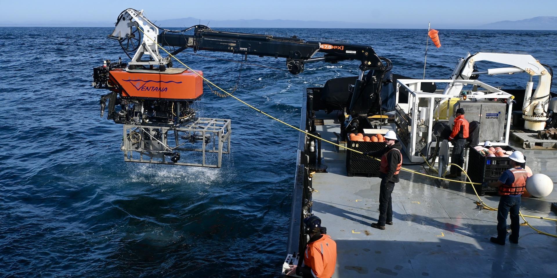
It’s also important to understand that the Doc Ricketts ROV, which is transporting the LASS technology, is quite advanced as well.
Source: MBARI.org
Unlike other ROVs, Ricketts can submerge to incredible depths and comfortably sits just 10 feet above the sea floor at all times in order for the lasers to do their work.
What MBARI and Their Team Found in the Monterey Canyon
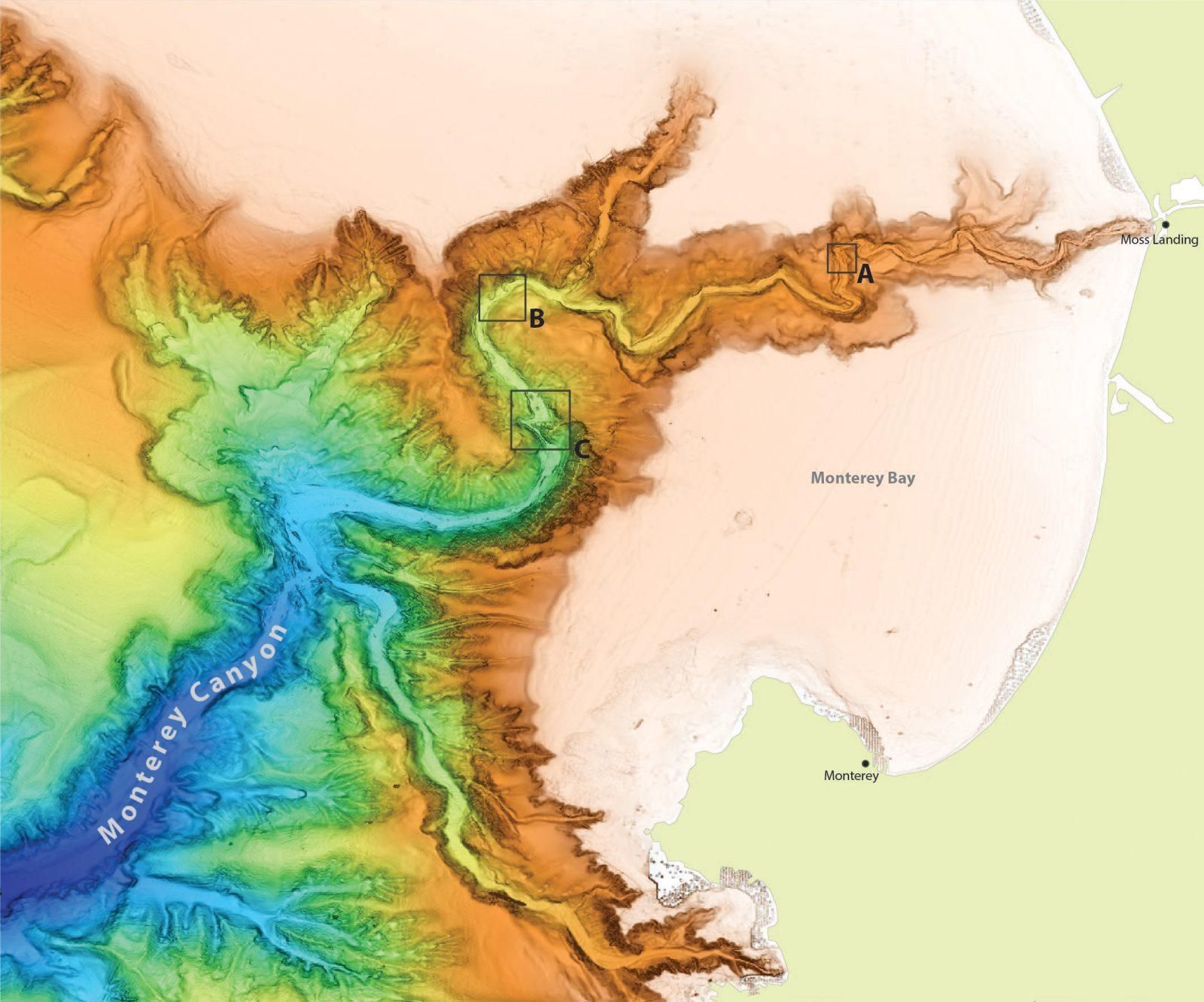
After several successful missions from Ricketts and LASS, the research team noted several interesting things right away.
Source: MBARI.org
First, they now understand that the tides actually carve small scours into the canyon walls and floor, creating its varied texture. Which is something no other lidar laser has ever reported.
The Monterey Canyon Is Constantly Changing
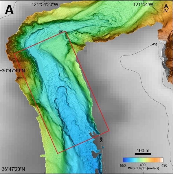
The next aspect of the canyon the team noted was that it seems to be constantly changing every few months.
Source: MBARI.org
They believe that the “fascinating geological processes” that are shaping the canyon are wildly important. In fact, they will help scientists better understand how canyons like Monterey could be connected to geohazards such as tsunamis.
Finding Strange and Previously Unseen Wildlife
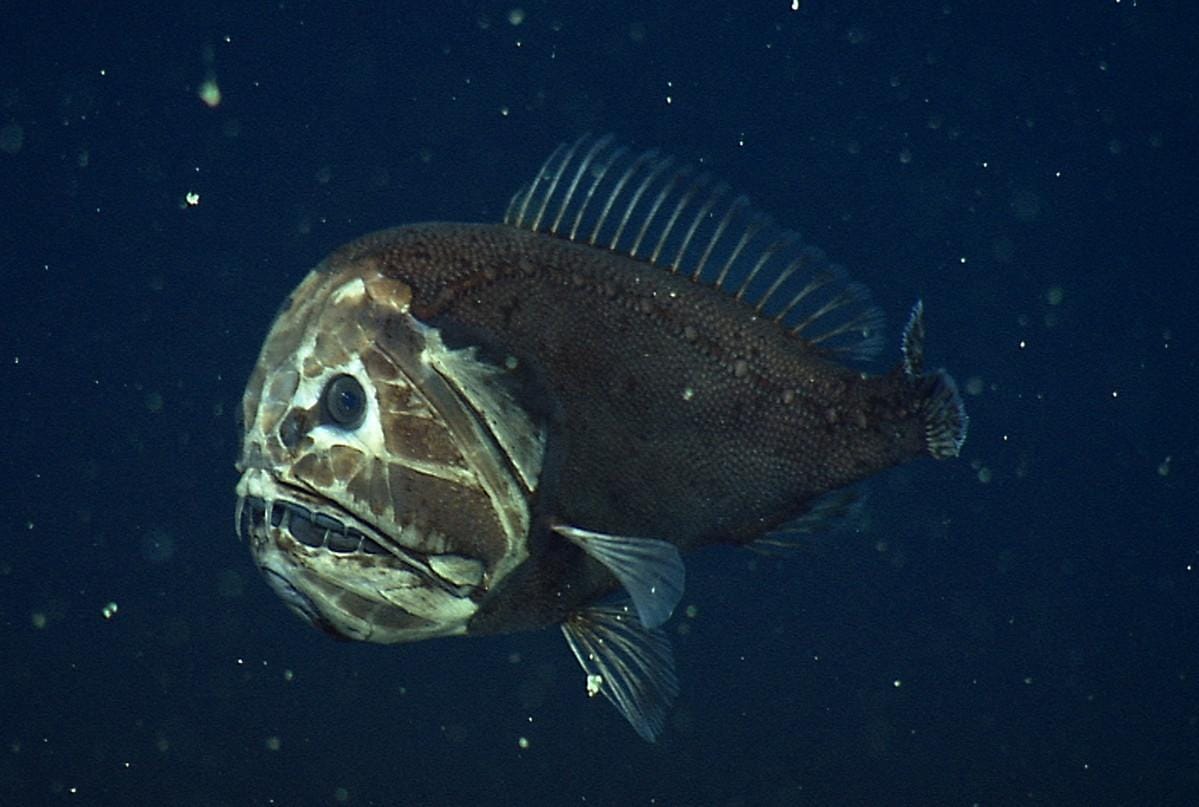
With this new technology, MBARI was not only able to better understand the literal shape and changes of the canyon, but also find strange and some never before seen deepsea life.
Source: MBARI.org
With its top-of-the-line lasers, the LASS can map out what these animals look like, though they’re still far too deep for any person to go see without a submarine.
The Monterey Canyon Will Help Future Scientists Understand Weather
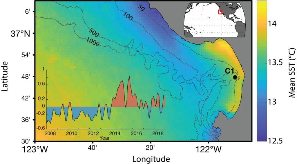
MBARI reports that “Understanding how Monterey Canyon changes over time can also provide insight into how submarine canyon activity might impact coastal communities.”
Source: MBARI.org
That includes tsunamis, sea temperatures, and even “catastrophic” events that could take out entire coastlines.
MBRAI Will Continue to Explore the Monterey Canyon
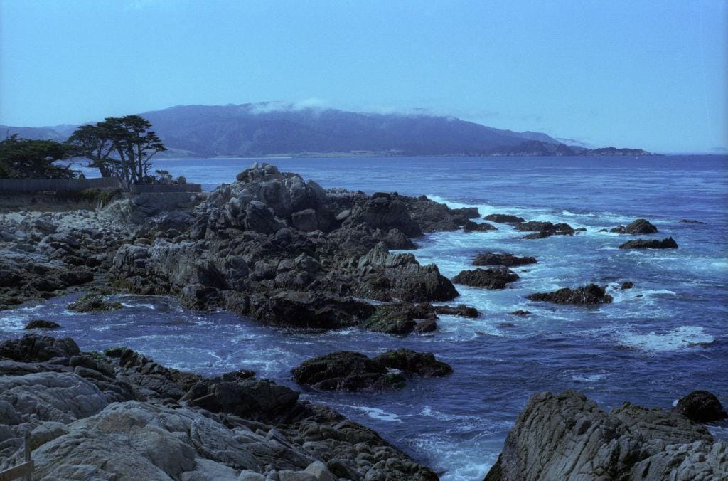
While they already have a wide variety of information from their previous explorations of Monterey Canyon, the team will continue to research the depths of this incredible natural wonder.
Source: Jim Steinfeldt/Getty Images
And they are certainly excited to see what they find, from new animals, to understanding tides and erosion, the Monterey Canyon is simply a goldmine for marine information.
